020 7864 7245 [email protected] WhatsApp

London neighbourhoods

Architectural Drawings by London Neighbourhood

These 17 London neighbourhoods sit across 10 boroughs and each one is handled by a different planning authority with its own local plan, Article 4 coverage and conservation area boundaries. Pick your neighbourhood for the local rules.


Architectural detail on a London period property — architectural drawings

Which London neighbourhood do you need drawings for?

A neighbourhood page is worth reading before a borough page when the local constraint is tighter than the borough-wide one — a conservation area boundary, an estate covenant, or a postcode district that straddles two councils. The table lists the specific constraint that changes the drawing set in each place.

NeighbourhoodPostcodePlanning authorityWhat changes the drawings here
AngelN1IslingtonBorough-wide Article 4; Georgian terraces in CAs
Battersea ParkSW11WandsworthMansion blocks; Period townhouses
BlackfenDA15BexleyPermitted development; Bexley planning standards
Bromley Town CentreBR1BromleyEdwardian villas; Bromley Town Conservation Area
DulwichSE21 & SE22SouthwarkDulwich Estate scheme of management; dual approval
Greenwich PeninsulaSE10GreenwichNew-build apartments; Greenwich Millennium Village
GreenwichSE10GreenwichWorld Heritage Site constraints; Listed buildings
Isle of DogsE14Tower HamletsCanary Wharf residential; Docklands apartments
MottinghamSE9GreenwichBungalows; Cross-borough awareness
New CrossSE14LewishamFlat conversions
Nine ElmsSW8WandsworthNew-build apartments; Battersea Power Station
NorburySW16, CR7CroydonAffordable improvement; Croydon design guidance
NorthfieldsW13EalingNorthfields Conservation Area; Inter-war housing
PlumsteadSE18GreenwichPlumstead Common CA; Hilly topography
SandersteadCR2CroydonLoft conversions; Outbuildings
Surrey QuaysSE16SouthwarkNew-build apartments; Canada Water masterplan
WalworthSE17SouthwarkPullens Estate Conservation Area; Flat conversions
An architectural technologist checking a printed set of house drawings, marking a proposed elevation in red — architectural drawings by london neighbourhood in London
Every set is checked line by line against the validation checklist before it leaves the office.

Browse every neighbourhood

Not listed? The 33 London borough hubs cover every address in Greater London, and the commuter belt pages cover Hertfordshire, Essex, Kent, Surrey and Buckinghamshire.

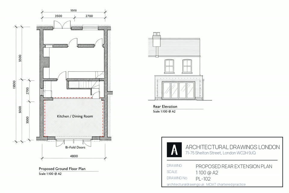
A printed planning application drawing set — proposed elevations, floor plans and the os location plan with the site outlined in red — architectural drawings by london neighbourhood in London
The planning set that goes to the council through the Planning Portal: proposed elevations, plans, and the OS location plan with your site outlined.

Found this useful? Share it

Copies the headline and the link, ready to paste anywhere — helpful if you are planning an extension with a neighbour, builder or architect.

Free quote in 60 seconds
Call us Free quote →

Before you go…

Get a free, no-obligation quote for your project. MCIAT chartered.

council-ready drawing review · All 33 London boroughs