Accurate existing-condition drawings for your London property — floor plans, elevations, sections, and 3D scans. Fixed fee from £540, completed within 5 working days, MCIAT chartered surveyor on every project.
Every measured survey we deliver is designed to be handed straight to an architect, designer, structural engineer or planning consultant. Layered AutoCAD DWG to BS 1192, dimensioned PDFs at 1:50 and 1:100, plus a written measurement report.
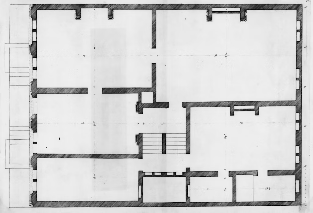
Basement, ground, first, second, loft and roof plans. Wall thicknesses, door swings, window openings, stair risers and tread dimensions, sanitary fittings, fireplaces, structural columns and changes in floor finish all measured and drafted at 1:50.
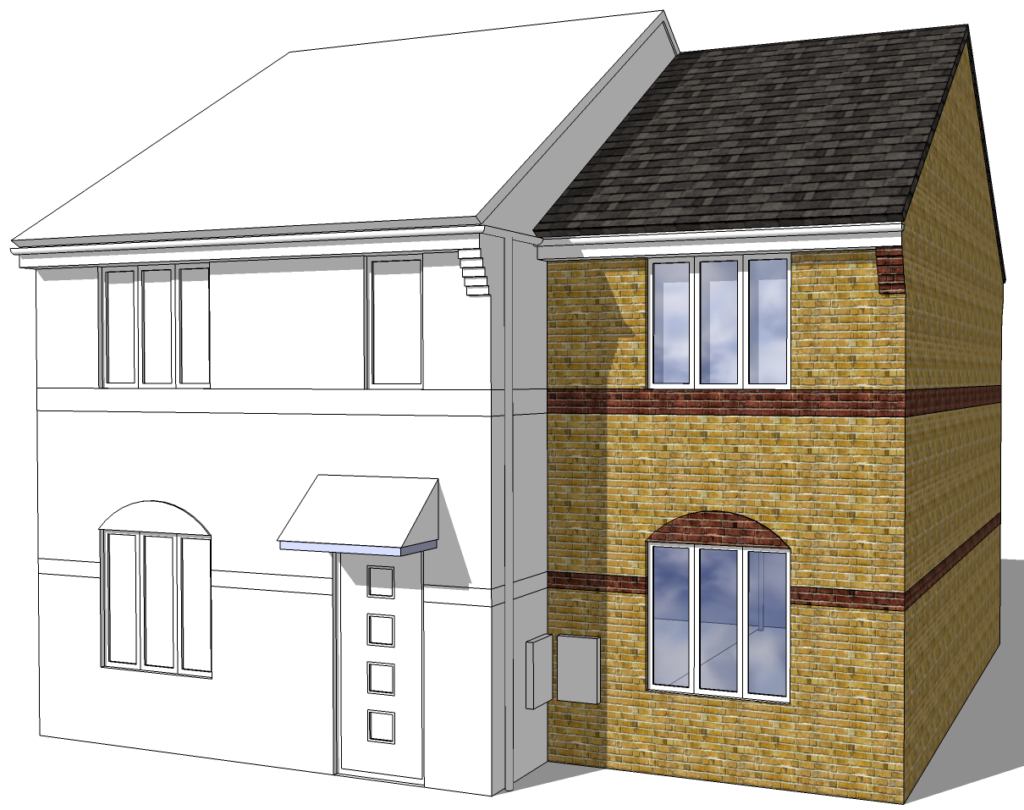
Front, rear and side elevations with ridge, eaves, cill and head heights, parapet details, bay projections, chimney profiles and rainwater goods. Brick courses counted where visible. Output to 1:50 or 1:100 depending on building scale.
One longitudinal and one cross section through stair core showing floor-to-ceiling heights, joist directions, roof pitch, ridge height and any changes in floor level. Essential for loft conversions, basement projects and Building Regulations submissions.
Block plan at 1:200 showing building footprint, boundary walls, garden hard and soft landscaping, adjacent properties, vehicular access and north arrow. Compatible with planning portal requirements for any London borough.
Where required for interior fit-out, retail, hospitality or office projects we add a reflected ceiling plan showing soffit heights, beam locations, light fittings, smoke detectors, sprinklers and mechanical grilles.
Leica BLK360 imaging scanner capture (±1mm at 10m), delivered as PLY or E57 for import into Revit, ArchiCAD, Rhino or SketchUp. Ideal for heritage buildings, complex geometry, BIM-grade deliverables or feasibility studies on irregular sites.
The right survey depends on what you're designing, who's reading the drawings, and whether you need a record of the building, the site, or both. Below is the plain-English decision matrix, with the typical fixed fee for each.
Single floor or studio flat, Leica Disto laser, single surveyor, plans only. Ideal for kitchen extensions, small refurbs, lease plans or insurance reinstatement valuations. Drawings at 1:50 in DWG and PDF.
The standard architect-grade package — full house, all floors, plans + elevations + sections + site plan. Used to drive every planning, building regulations, loft, extension or interior project we design. The most common option.
External-only survey of the garden, site and boundary with spot levels, tree positions (with crown spreads), gradients, manhole inverts and adjacent building heights. Required for landscape, basement, new-build or sloping-site planning applications.
Leica BLK360 imaging laser scanner — captures the entire building geometry to ±1mm at 10m. Delivered as PLY or E57 for BIM workflows in Revit, ArchiCAD or Rhino. Add-on to any survey above for complex geometry, heritage or BIM Level 2 deliverables.
Listed building or conservation area — hand-measured with tape and rod where laser access is restricted, full architrave and moulding profiles drawn at 1:5, all original features recorded. Suitable for Listed Building Consent and conservation officer review.
A standard 3-bedroom London house completes in five working days from instruction. Larger properties, listed buildings or 3D scan deliverables run to 7–10 days. A 48-hour express service is available for urgent transactions or planning deadlines.
Day 1 — fixed quote confirmed, property access arranged with owner or agent.
Day 2 — typically 2–6 hours on site, Leica Disto laser + optional 3D scan.
Days 3–4 — AutoCAD DWG layered to BS 1192, plans + elevations + sections.
Day 5 — internal review by a second technologist, cross-check against site notes.
Day 5 — DWG + PDF + measurement report emailed, ready for your design team.
Anonymised drawings from a full measured building survey of a four-storey Victorian terrace in N1. Captured in a single morning, drafted in AutoCAD over two days, delivered to the architect on the third working day for use as the base drawing for a rear extension and loft conversion.
Want the full PDF set? Start a free quote and we’ll email a redacted sample matching your building type.
Single floor or studio flat, plans only, Disto laser.
Full house, plans + elevations + sections + site plan.
Full survey, point cloud, BIM-ready layers, revisions.
Every property is different. Call +44 7592 201 353 for a five-minute chat.
Book a survey →Land Registry plans and old architect drawings are rarely accurate enough for planning or building regulations submissions. A measured survey gives you trusted existing-condition drawings to design from — preventing costly errors when contractors price the job or when the council compares your proposed plans against reality.
Our standard dimensional surveys are accurate to ±3mm using Leica Disto laser distance meters. Point cloud scans with the Leica BLK360 are accurate to ±1mm at a 10m range, suitable for heritage, complex geometry or BIM-grade deliverables.
Typically 5 working days from on-site survey to delivered CAD drawings for a standard 3-bedroom London house. Larger properties, listed buildings or 3D scan deliverables can take 7–10 days. A 48-hour express service is available for urgent projects.
The owner, tenant or agent must arrange access, but you do not need to stay throughout. The surveyor works around occupants and pets — a standard house survey takes 2–4 hours on site. We carry public liability insurance and DBS-checked staff for tenanted properties.
All measured surveys are delivered as AutoCAD DWG (layered to BS 1192) and PDF at 1:50 / 1:100 scale. Point cloud scans are additionally delivered as PLY or E57 for import into Revit, ArchiCAD, SketchUp or Rhino. A dimensioned measurement report is included.
Three featured measured surveys delivered to London architects and developers in the past quarter. Anonymised for client confidentiality — full case studies available on request.
Victorian terrace, E8. Four floors plus loft and roof, full measured survey including elevations and stair sections. Captured in a single morning, DWG delivered to the project architect on the third working day for use as the base for a rear extension and loft conversion design.
Grade II listed townhouse, SW1. Hand-measured throughout including original architrave, cornice and skirting profiles drawn at 1:5. Conservation-grade drawings used to support a Listed Building Consent application for a sympathetic kitchen reconfiguration.
Sloping development site, CR0. Topographical survey with spot levels, tree positions and adjacent building heights, plus a BLK360 point cloud of the existing single-storey commercial building on site. Used by a developer for a residential-led feasibility study.
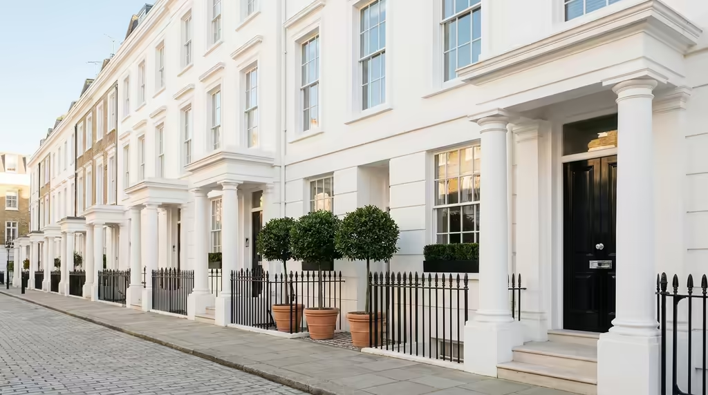
We survey properties across all 33 London boroughs — from Victorian terraces in Hackney and Islington to mansion blocks in Kensington and post-war estates in Lewisham. Fixed travel-inclusive fees, no surcharge for inside the M25.
DWG delivered three days after the site visit, perfectly layered, ready for us to drop straight into the planning drawings. Saved us the usual week of redrawing inaccurate Land Registry plans.
Leave your number and a chartered technologist will call you back within 30 minutes during working hours (Mon-Fri 9-6, Sat 10-4).
No obligation. No sales pressure. Just expert advice.
Fixed fee from £540. Free quote in 60 seconds. Covers every London borough.
Get my free quote →